Back to the 2025 Romandy GeoInformation Day
Auteur(s) de l'article
We had the pleasure of attending the Romandy GeoInformation Day, an unmissable event for all geo-information enthusiasts in French-speaking Switzerland.
Noémie, Gilles and I, Marc, were present and enjoyed the various conferences while reconnecting with friends, partners and even former professors.
A big thank you to the organizers for bringing together so many people around such an exciting topic!
But what is Antistatique doing in the field of geo-information?
First of all, we were “geo-contaminated” at engineering school. We feel part of the history of maps on the web, of the evolution of tools and libraries in this area. Then, we simply love this field—especially when it involves improving the display and processing of geographic data (even when there are millions of them) through interfaces that are clear and pleasant to use. This includes territory-planning support tools such as Smarter. And when things get too complex, we also collaborate with key partners like Inser for the geo.msf.ch project.
A rich and insightful program
Back to the event: to make sure we didn’t miss anything, we split up the tracks of the program. Here are some of our discoveries and highlights:
Morning keynotes
The presentation by Mathieu Salzmann, Deputy Head Data Scientist at the Swiss Data Science Center, particularly caught our attention. He discussed the use of LLMs and machine learning through simple introductory concepts—such as identifying a kitten—to introduce concrete applications like modeling, quantification and forecasting the electricity production of photovoltaic panels based on their orientation and sunlight exposure.
Opening speech
We also greatly enjoyed the opening speech by Stéphane Montangero, President of the Grand Council of Vaud. His tribute to the Dufour Map, despite the sacrifices required for its creation, resonated with us. He emphasized the importance of geo-information to better understand our territory and make informed decisions—this reminded us of a certain SmarTer project. We also spotted the subtle Chasselas wine advertisement hidden in his description of the landscapes.
One of the morning’s themes was “What if geodata were the key for decision-makers?”
The example of using Waze data to identify traffic congestion in Geneva was very interesting. Its creator also strongly emphasized the importance of open-source licensing and the power of the free tools used.
Additionally, the initiative of the cantons of Zurich and Geneva, along with the city of Geneva, to identify green roofs using deep learning was truly fascinating—especially the methods used to train the model.
Afternoon: new perspectives on territories
In the afternoon, the presentation of the Swiss Atlas and its technical architecture was intriguing.
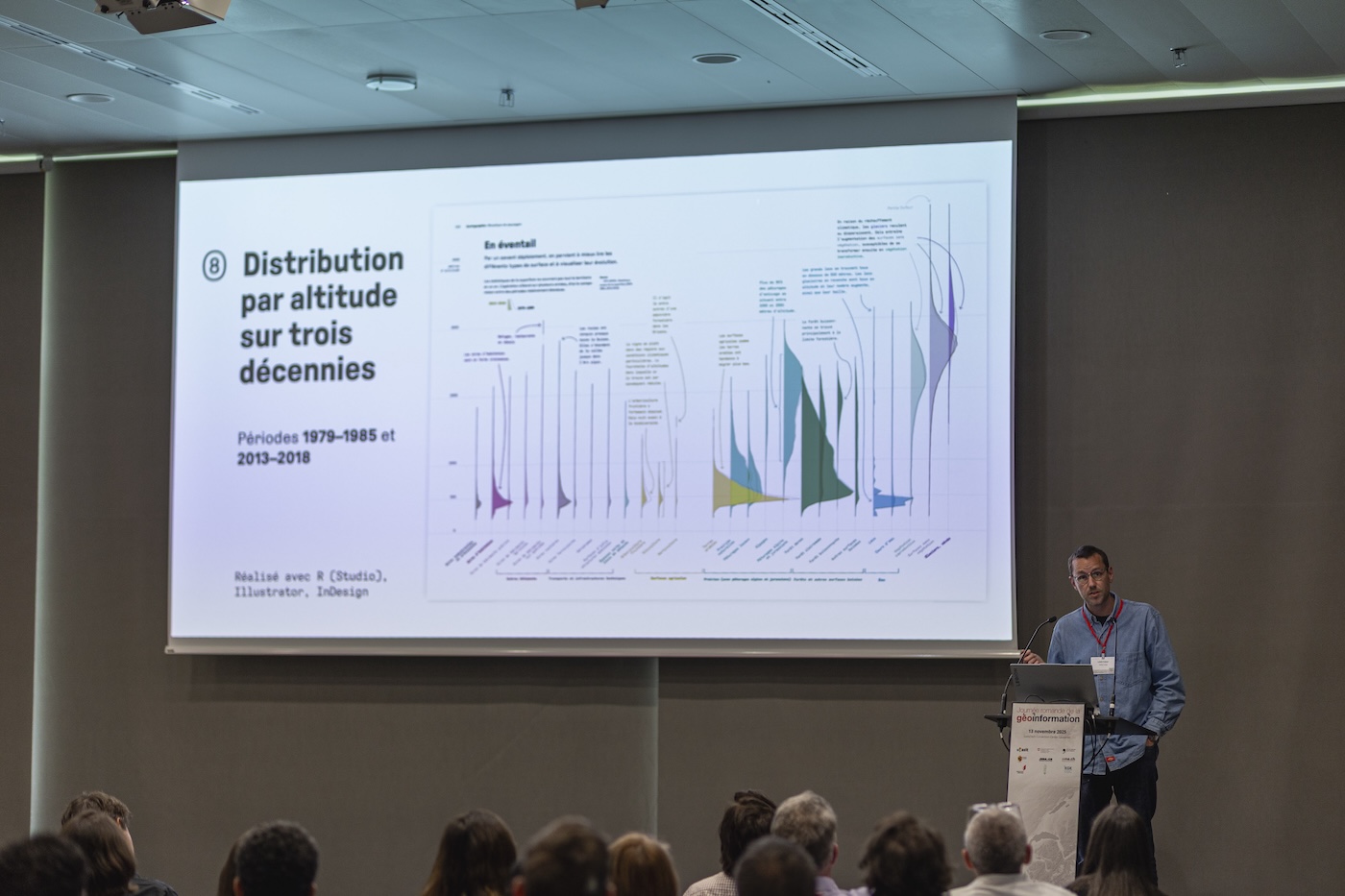
We had a real favorite: Fabian Lang, who shared his experience creating his book “Mountains of Data: From the Valley to the Mountain.”
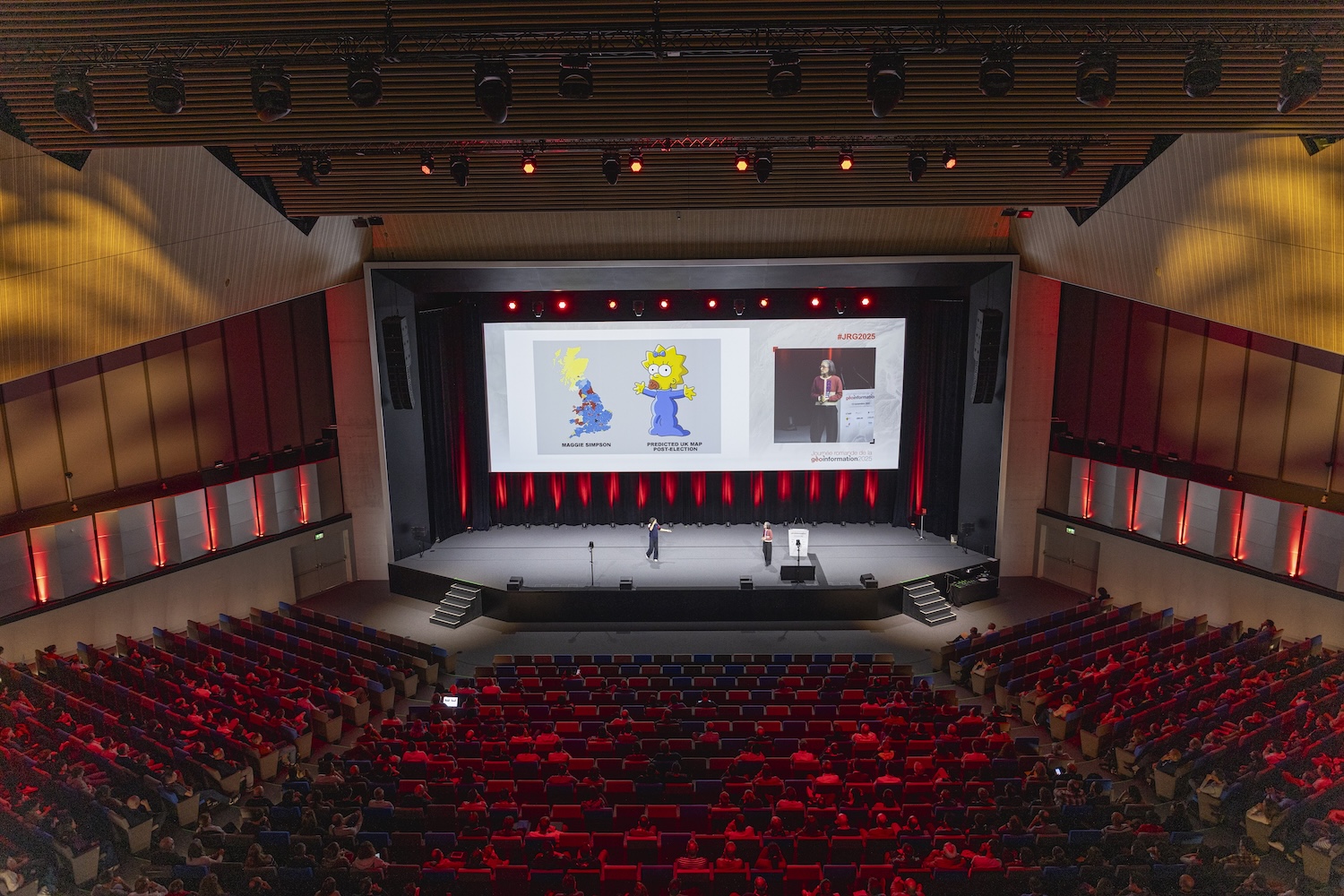
A closing keynote on the question: Can we laugh at maps?
The answer is of course yes!
Looking forward to the next edition in 2027!
This event was a wonderful opportunity to learn, exchange and strengthen our connections with the geo-information community. We look forward to putting everything we learned into practice and continuing to contribute to this exciting field!
Thanks to the photographers for the photos of the day
Photo credit: Daran Van / JRG2025
Photo credit: Daran Van / JRG2025